.
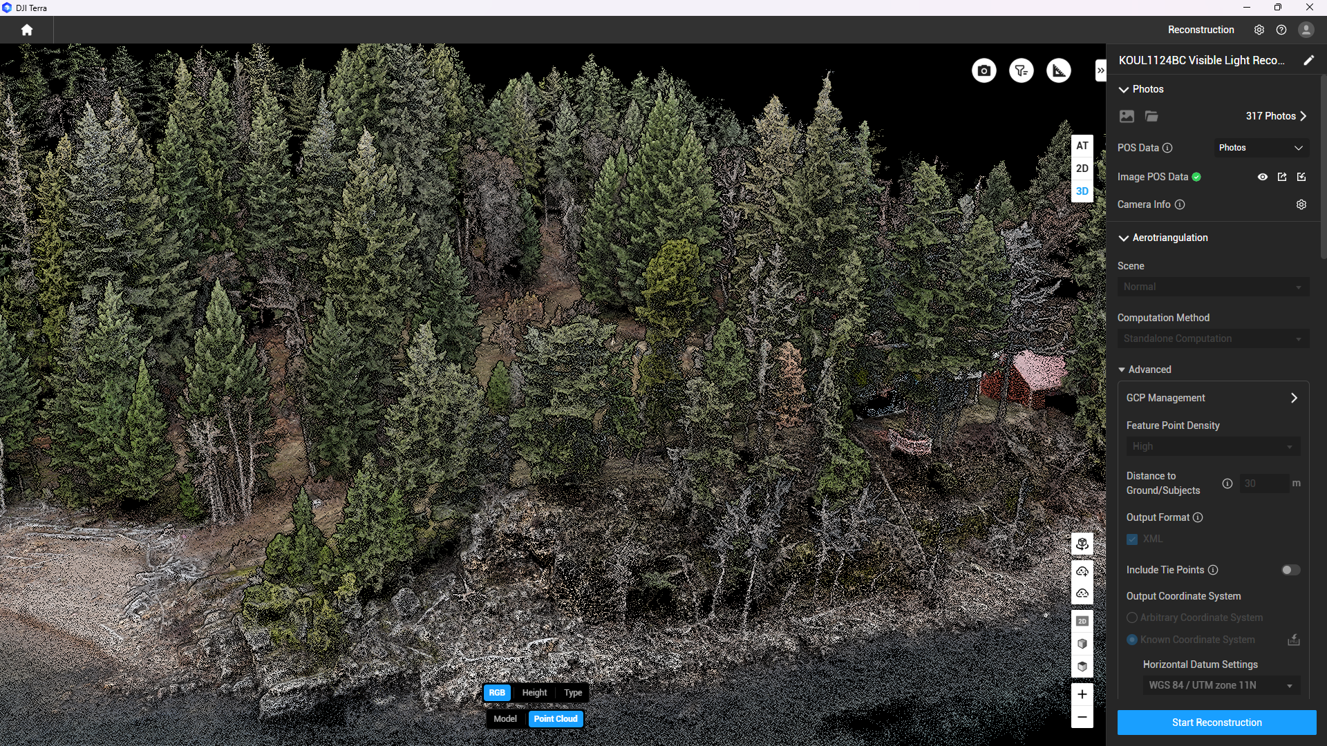
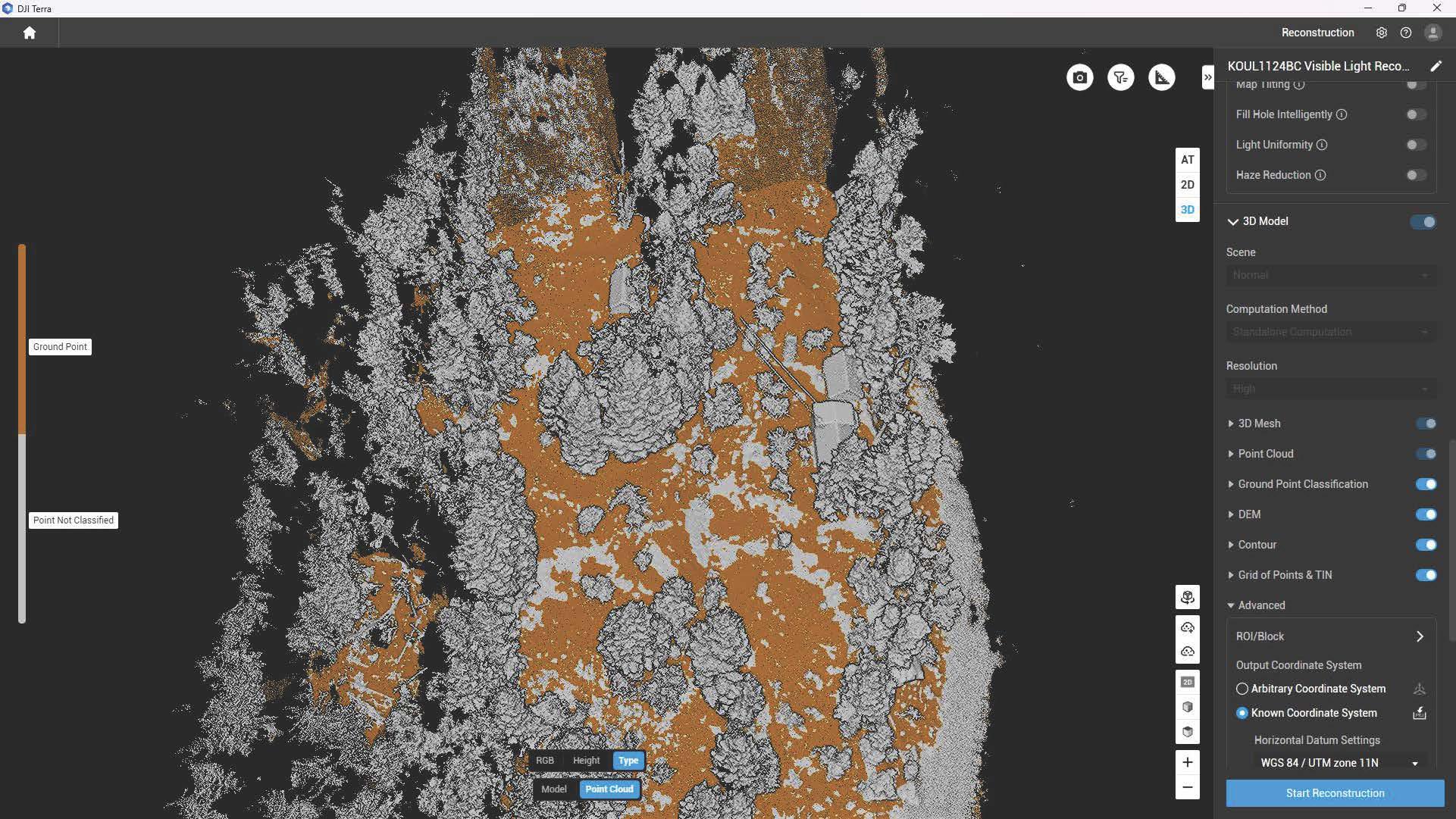
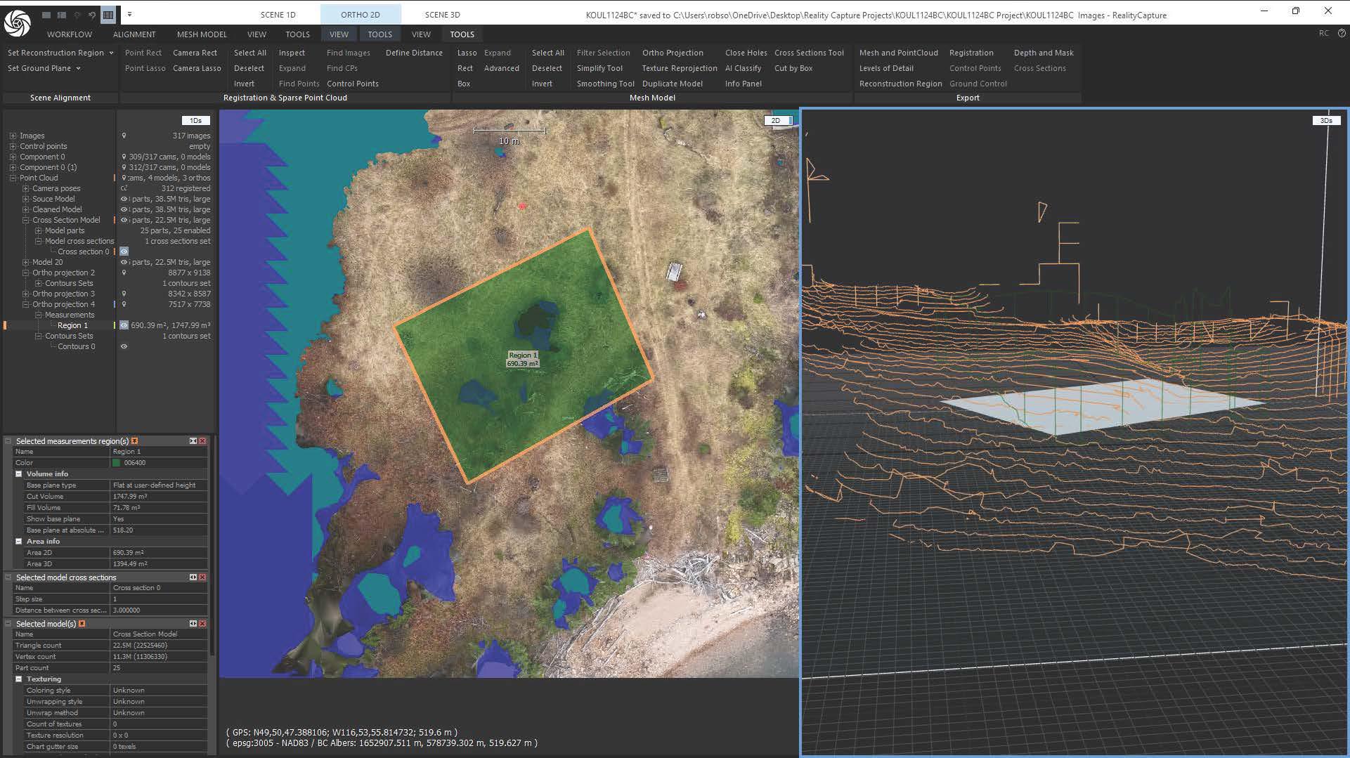
This gallery showcases outputs from one of our advanced mapping missions, highlighting the diverse capabilities of drone-based photogrammetry. The data includes high-density point clouds, orthomosaics with terrain classification, contour mapping, and volumetric analysis such as cut and fill. These outputs are ideal for detailed site assessment, terrain visualization, and geospatial analysis. As we expand this gallery, you’ll find a growing collection of mission data that reflects the precision and versatility of our aerial mapping workflows.