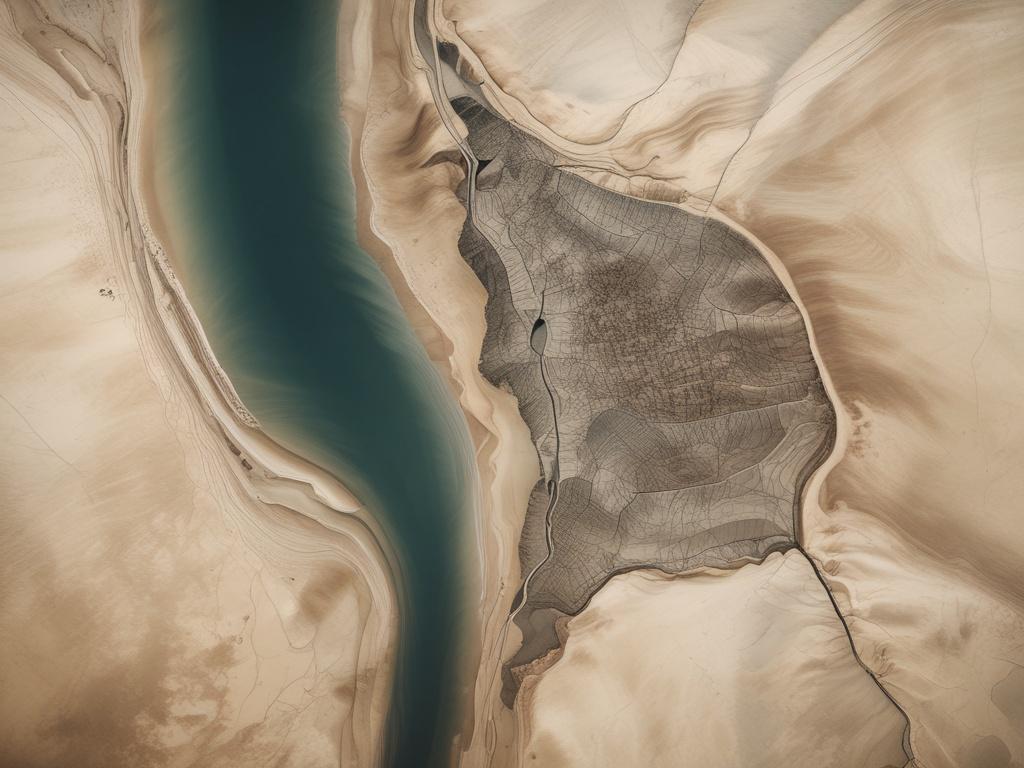
Aerial mapping services
At High Attitude Drone Solutions, we provide cutting-edge aerial mapping services that revolutionize the way you visualize and analyze land. Our drones capture high-resolution imagery, allowing for precise measurements and detailed topographical maps. Whether you're in agriculture, construction, or real estate, our mapping solutions deliver the data you need to make informed decisions. With our expert team, you receive not just images, but actionable insights that can enhance your projects and streamline your workflow. Experience the power of drone technology and elevate your understanding of the terrain with our comprehensive aerial mapping services.