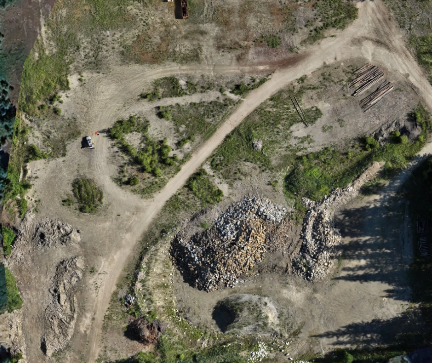
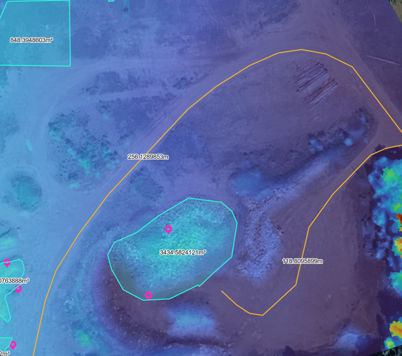
This aggregate pit survey was conducted using RTK-enabled aerial mapping to produce high-resolution orthomosaics, digital surface models (DSM), and volumetric stockpile calculations.
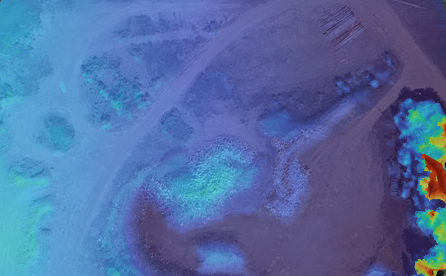
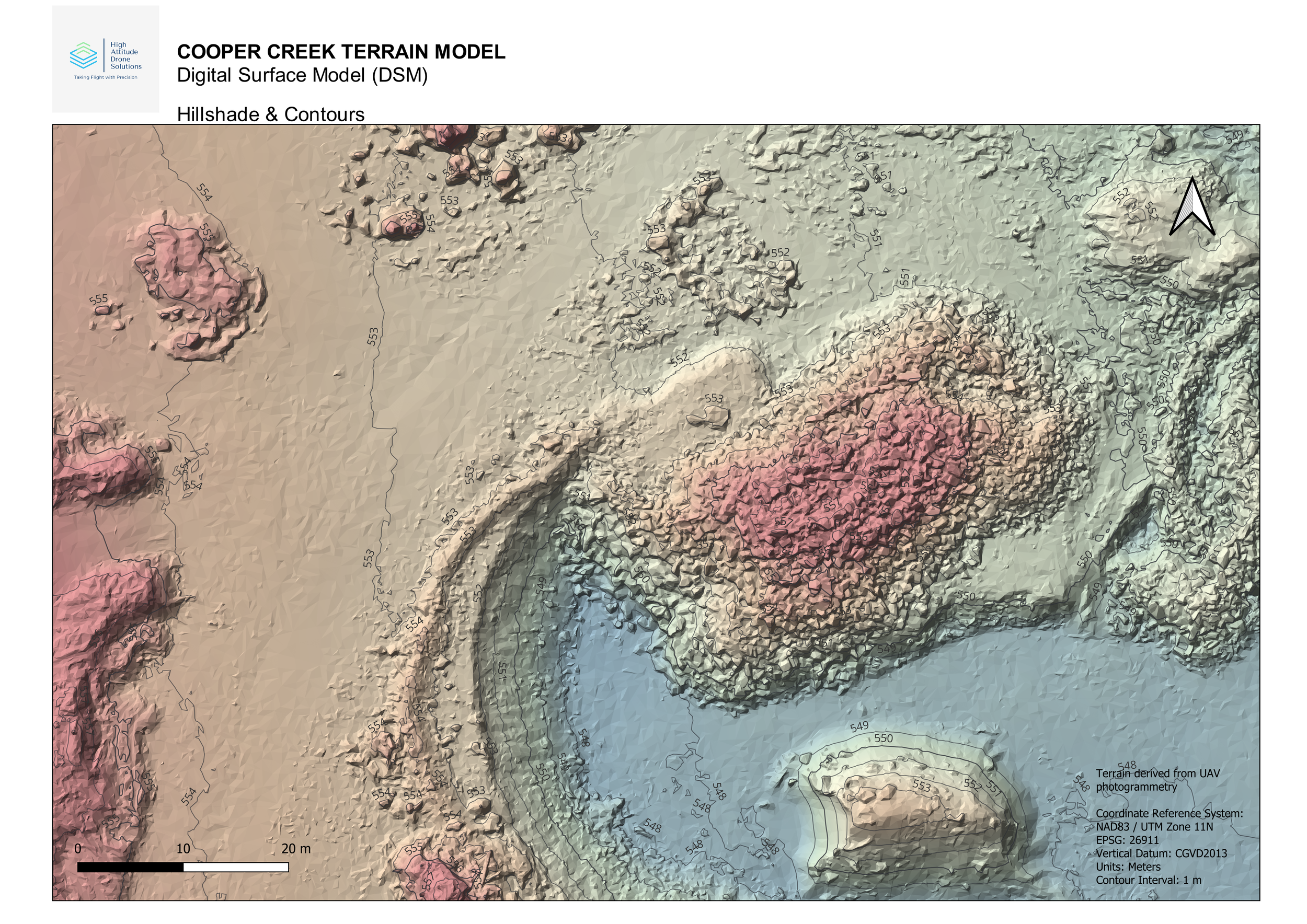
Surface elevation data was analyzed to determine material quantities, assess grading consistency, and support operational planning within the pit. Cross-section profiles and terrain modeling techniques were applied to verify surface conditions and provide measurable insights for inventory tracking and site management.
Deliverables included:
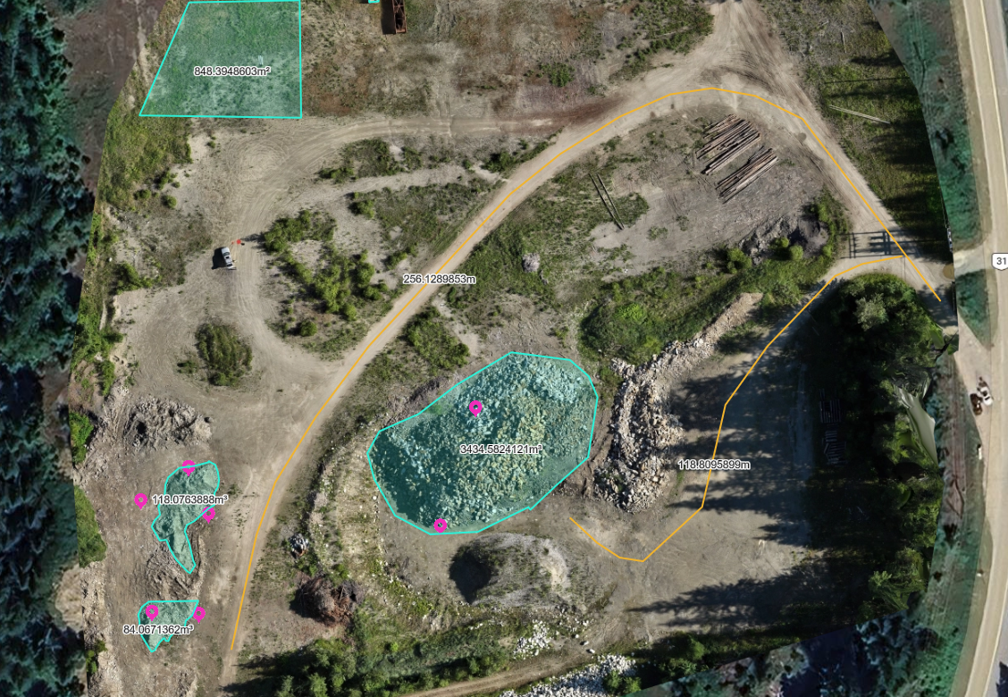
• Aggregate stockpile volume calculations (m³)
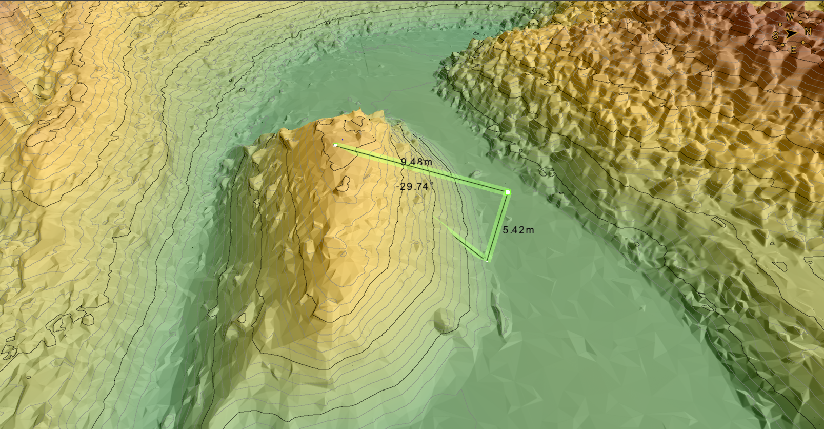
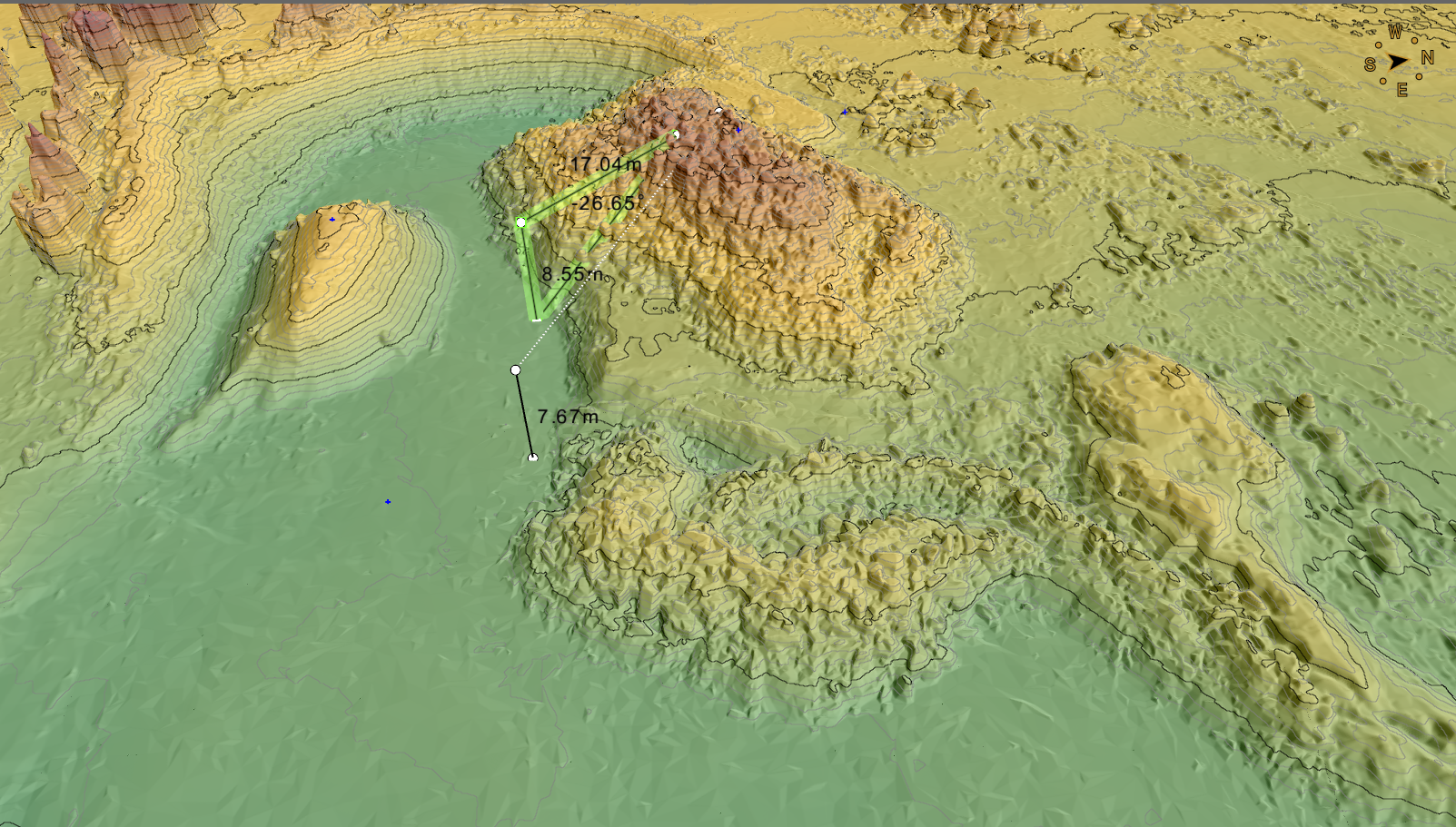
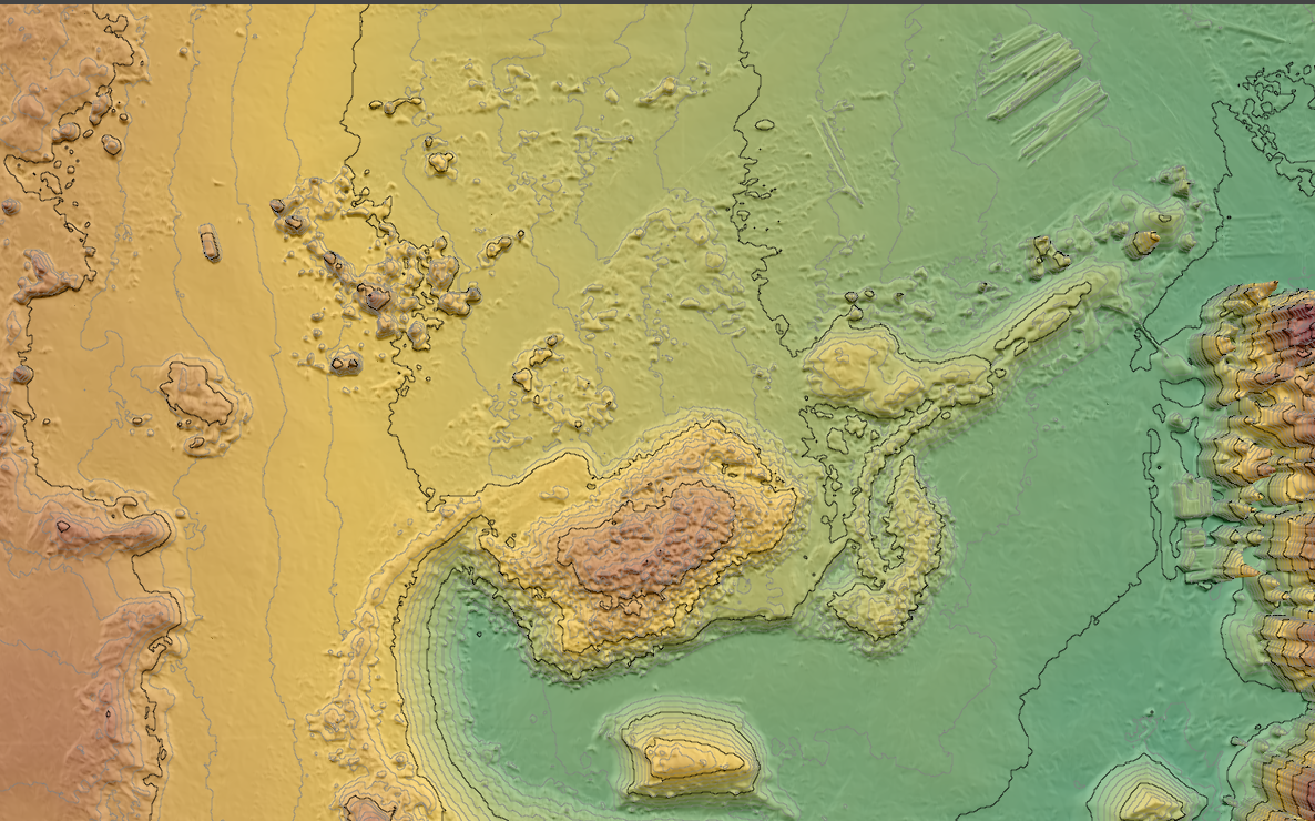
• Digital Surface Model (DSM)
• Elevation profiles and terrain analysis
• High-resolution orthomosaic imagery
This workflow provides repeatable, data-driven intelligence for material tracking and operational efficiency.