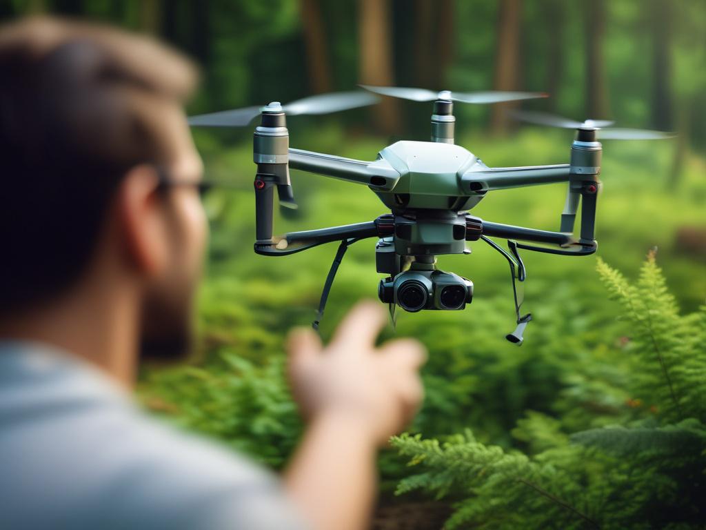
In the fast-paced world of forestry operations, the demand for swift and precise terrain data is greater than ever. Drones are revolutionizing the way forestry professionals gather essential information, offering innovative mapping solutions that enhance efficiency and accuracy. With the ability to cover vast areas quickly and provide high-resolution data, drone mapping has become indispensable for tasks ranging from harvest planning to wildfire assessment. This post explores how these cutting-edge technologies are transforming forestry operations, enabling professionals to make informed decisions and streamline their workflows.
As organizations adopt drone mapping, understanding the right technology becomes crucial. Photogrammetry and LiDAR are two leading methods, each suited to different forestry applications. By evaluating the strengths and weaknesses of these technologies, forestry professionals can select the best approach for their specific needs. Aerial data not only enhances decision-making in the field but also supports proactive strategies for resource management and environmental stewardship. Join us as we delve into the powerful role of drone technology in forestry and uncover how it helps professionals work smarter with geospatial data.
Transforming forestry operations with cutting-edge drone mapping
Drones are revolutionizing forestry operations by providing fast, accurate terrain data that traditional methods simply can't match. With the ability to cover large areas in a fraction of the time, drone mapping empowers forestry professionals to conduct comprehensive assessments and make informed decisions swiftly. Whether it’s assessing timber health, planning harvests, or monitoring biodiversity, drone technology enhances the efficiency and effectiveness of forestry projects. The integration of aerial data allows for real-time insights, enabling teams to identify issues before they escalate and optimize their management strategies.
Moreover, the benefits of drone mapping extend beyond mere speed and accuracy. Forestry operations demand detailed information for effective planning and execution, and drone-derived data delivers just that. High-resolution imagery and topographical maps created through drone technology provide critical insights into terrain, vegetation type, and land use, facilitating better resource management. This transformation empowers forestry professionals to work smarter, ensuring sustainable practices are at the forefront of their operations while minimizing environmental impact. By embracing drone mapping, the forestry industry takes a significant step toward a more modern, data-driven approach to resource management.
Choosing the right technology: Photogrammetry vs. LiDAR for forestry needs
When it comes to forestry operations, the choice between photogrammetry and LiDAR can significantly impact data collection and analysis workflows. Photogrammetry utilizes high-resolution imagery captured by drones to create detailed two-dimensional and three-dimensional maps. It excels in generating visual data that helps in assessing tree health, estimating canopy cover, and planning for harvesting operations. Photogrammetry is ideal for projects requiring a quick turnaround and straightforward measurements. However, its accuracy can be affected by factors such as lighting conditions and vegetation density.
On the other hand, LiDAR technology utilizes laser pulses emitted from drones to create precise three-dimensional representations of the terrain. This method penetrates the forest canopy, providing critical information about the ground surface and individual tree structures. LiDAR stands out in applications such as terrain analysis, tree height measurement, and forest inventory estimations. While LiDAR typically involves higher costs and more complex data processing, the precision and depth of information it offers often justify the investment for comprehensive forestry assessments. Ultimately, selecting between photogrammetry and LiDAR depends on specific project needs, budget considerations, and desired outcomes for actionable insights in forestry operations.
Enhancing decision-making in the field through aerial data insights
Aerial data gathered from drone mapping significantly enhances decision-making in forestry operations. With access to real-time, high-resolution imagery and three-dimensional terrain models, forestry professionals can analyze factors such as tree height, canopy density, and land topography with unprecedented precision. This detailed information enables more effective harvest planning, allowing managers to identify the best routes for equipment and optimize resource allocation. Additionally, aerial data reveals trends over time, permitting foresters to monitor forest health, assess growth rates, and make informed decisions about pest control or disease management.
Furthermore, the incorporation of drone technology into forestry applications offers crucial insights during emergency situations, like wildfire assessments. Drones can quickly survey vast areas, capturing data that helps evaluate fire spread and severity. Armed with this information, forestry teams can allocate resources more efficiently and develop targeted response strategies. Aerial data empowers professionals to assess vegetation density, moisture levels, and critical environmental factors that contribute to fire risk. Ultimately, by embracing drone mapping, forestry operations can leverage technology to make smarter decisions—enhancing operational efficiency and ensuring the sustainable management of forest resources.