.
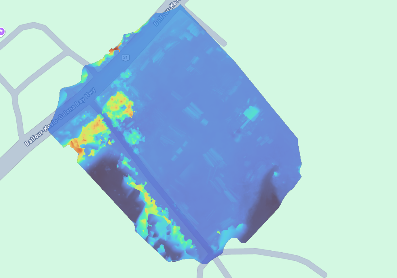
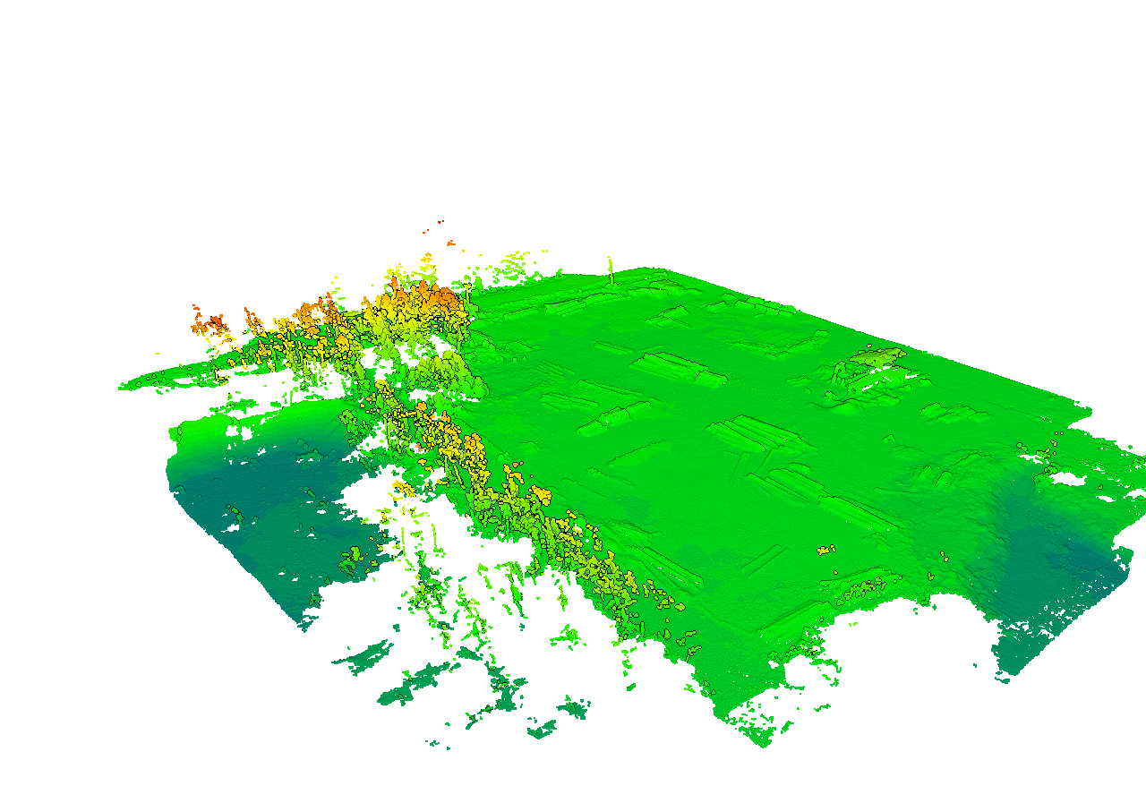
This timber yard survey was conducted using RTK-enabled aerial mapping to generate high-resolution orthomosaics, digital surface models (DSM), and volumetric measurements of log stockpiles.
Surface elevation data was analyzed to calculate stockpile volumes and assess grading consistency across the yard. Cross-section profiles were used to verify surface elevations and support operational planning and inventory management.
Deliverables included:
• Log stockpile volume calculations (m³)
• Digital Surface Model (DSM)
• Elevation profiles and terrain analysis
• High-resolution orthomosaic imagery
This workflow provides repeatable, measurable data for inventory tracking and site management.