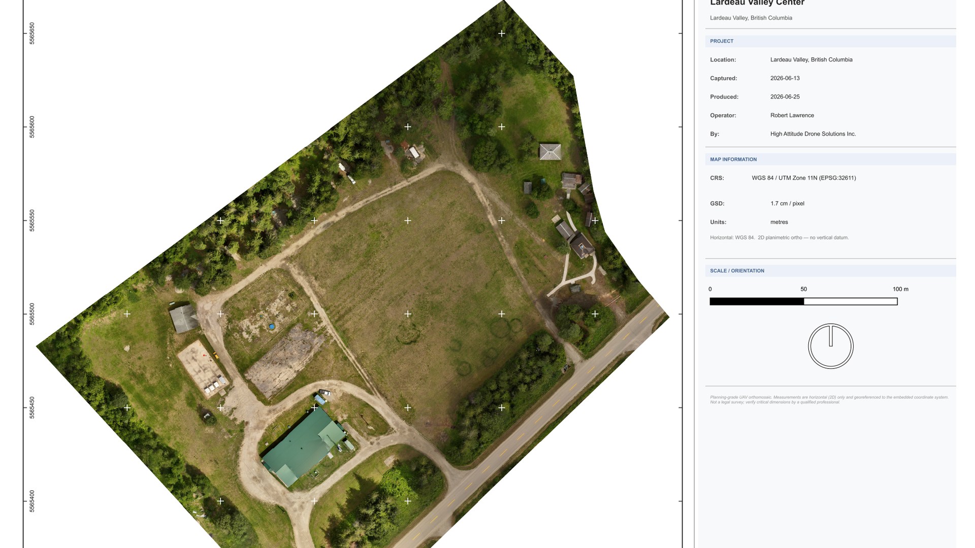
Aggregate operations · Cooper Creek
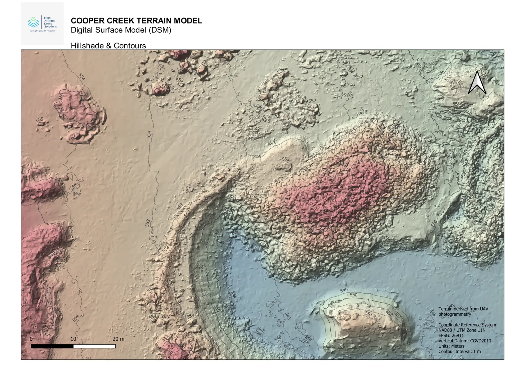
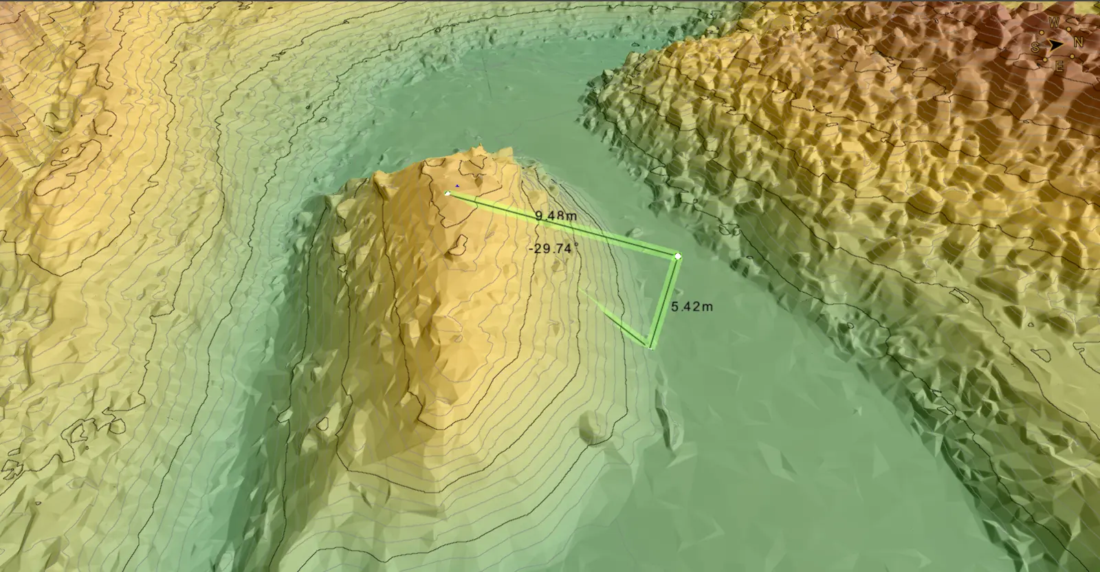
Stockpile Volume & Surface Modeling
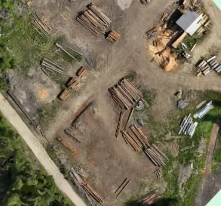
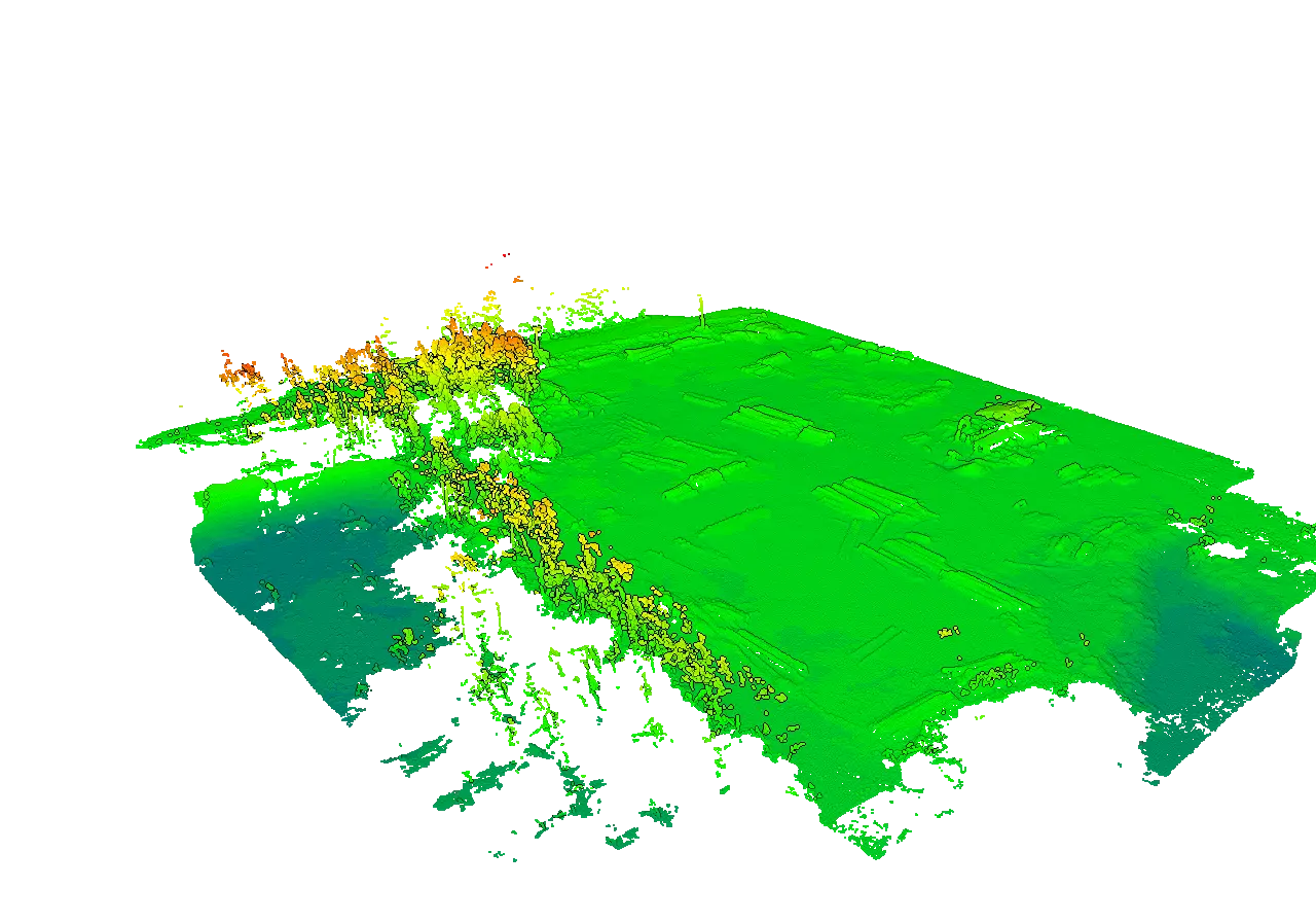
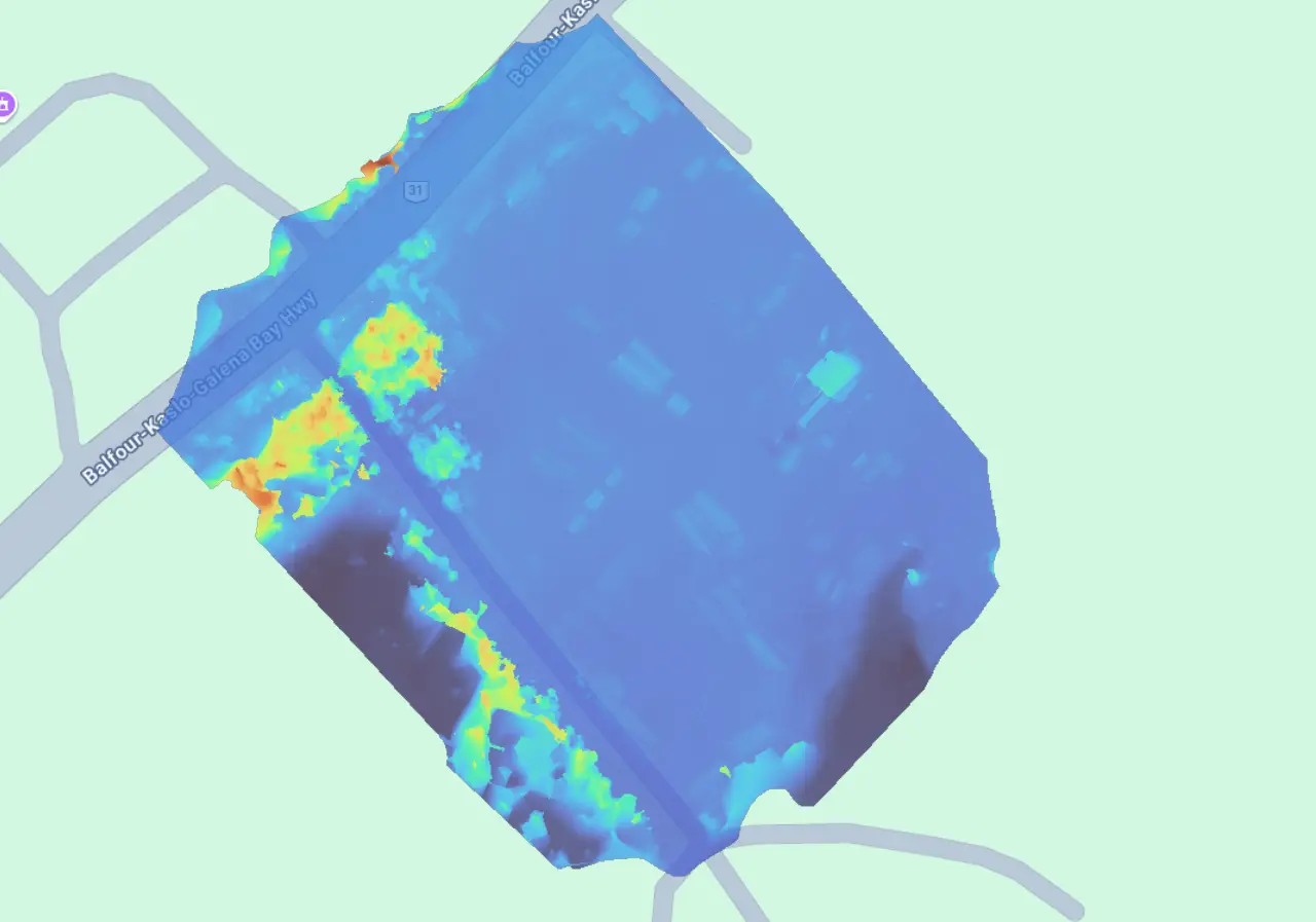
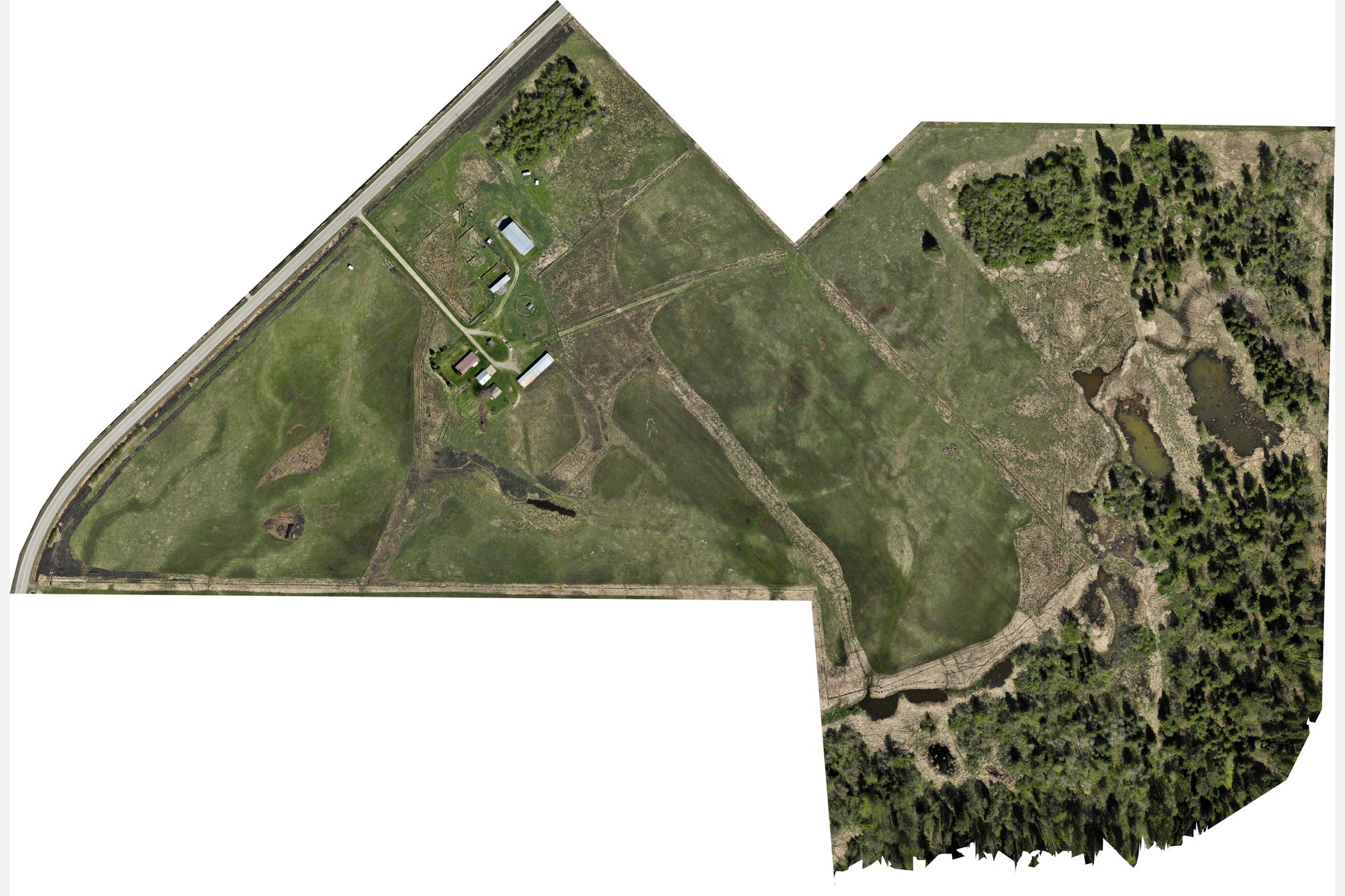
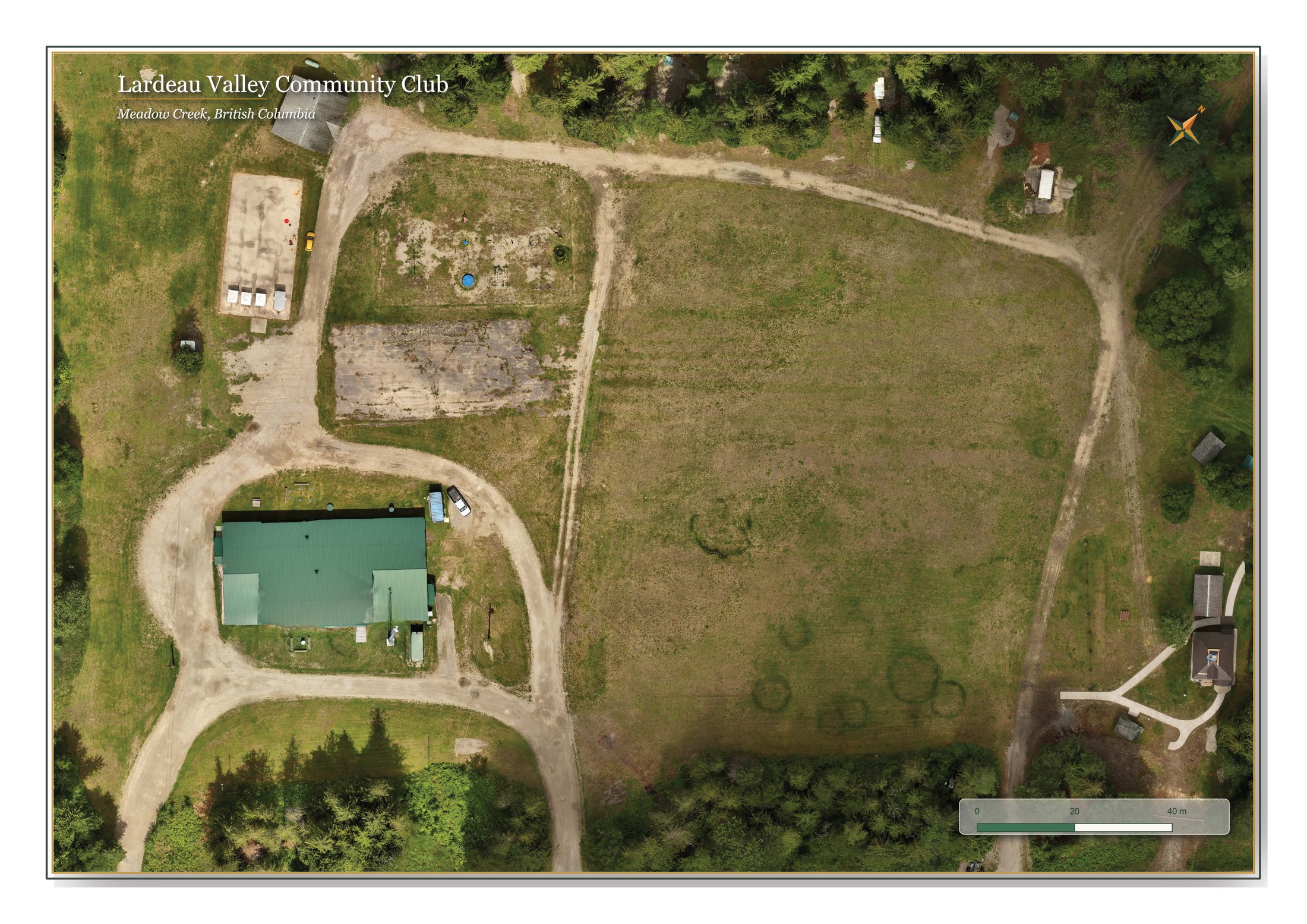
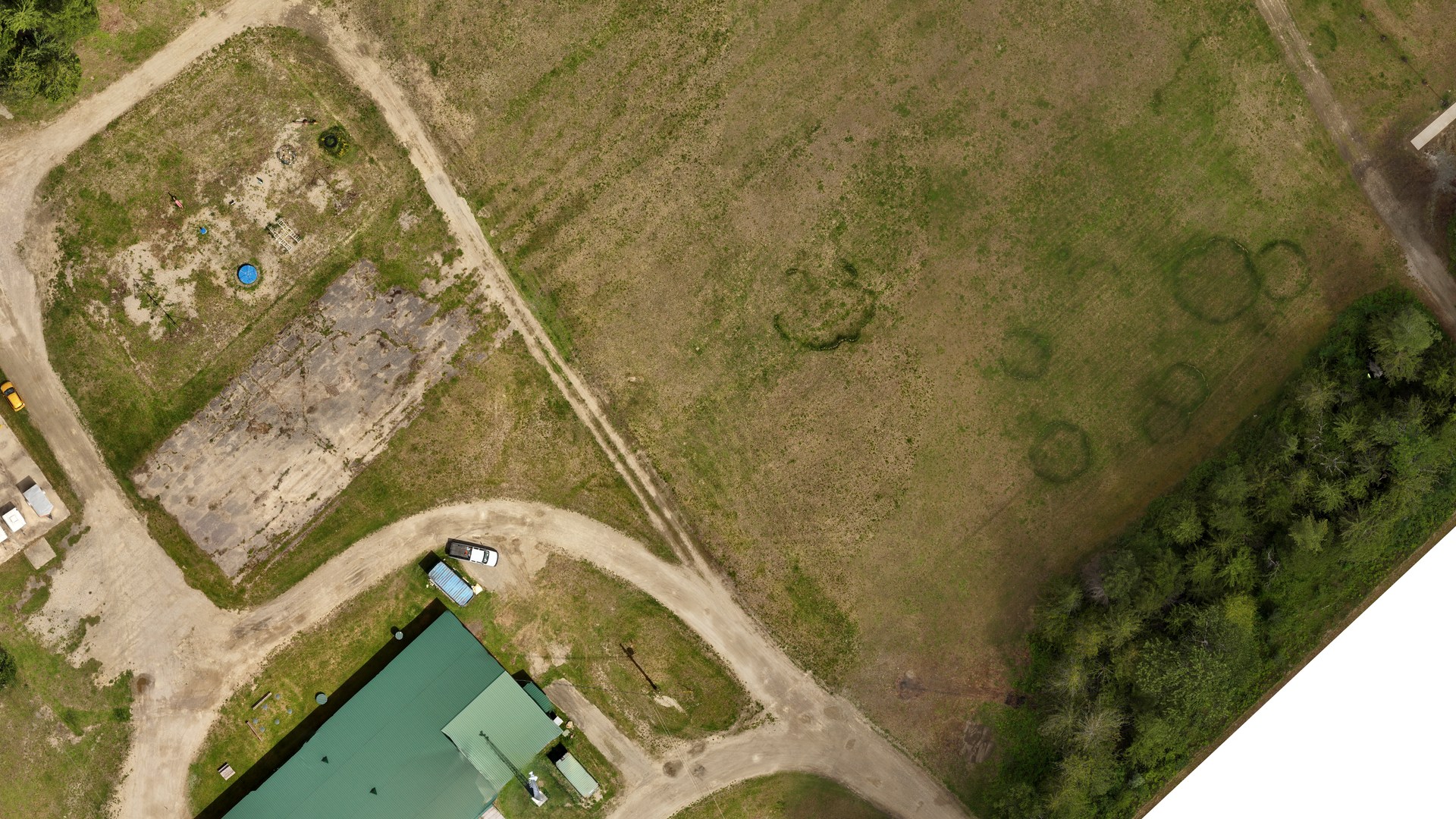
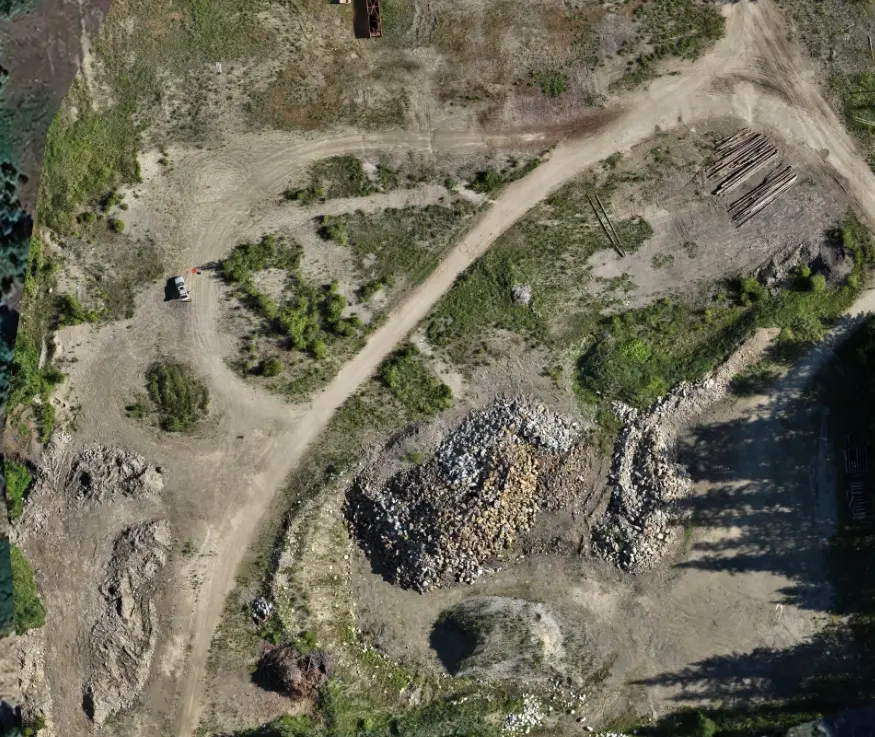
An RTK-enabled capture created a current site record for inventory and operational planning at an aggregate pit.
Project use
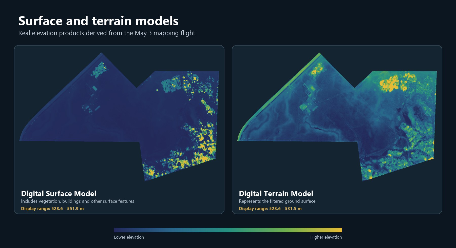
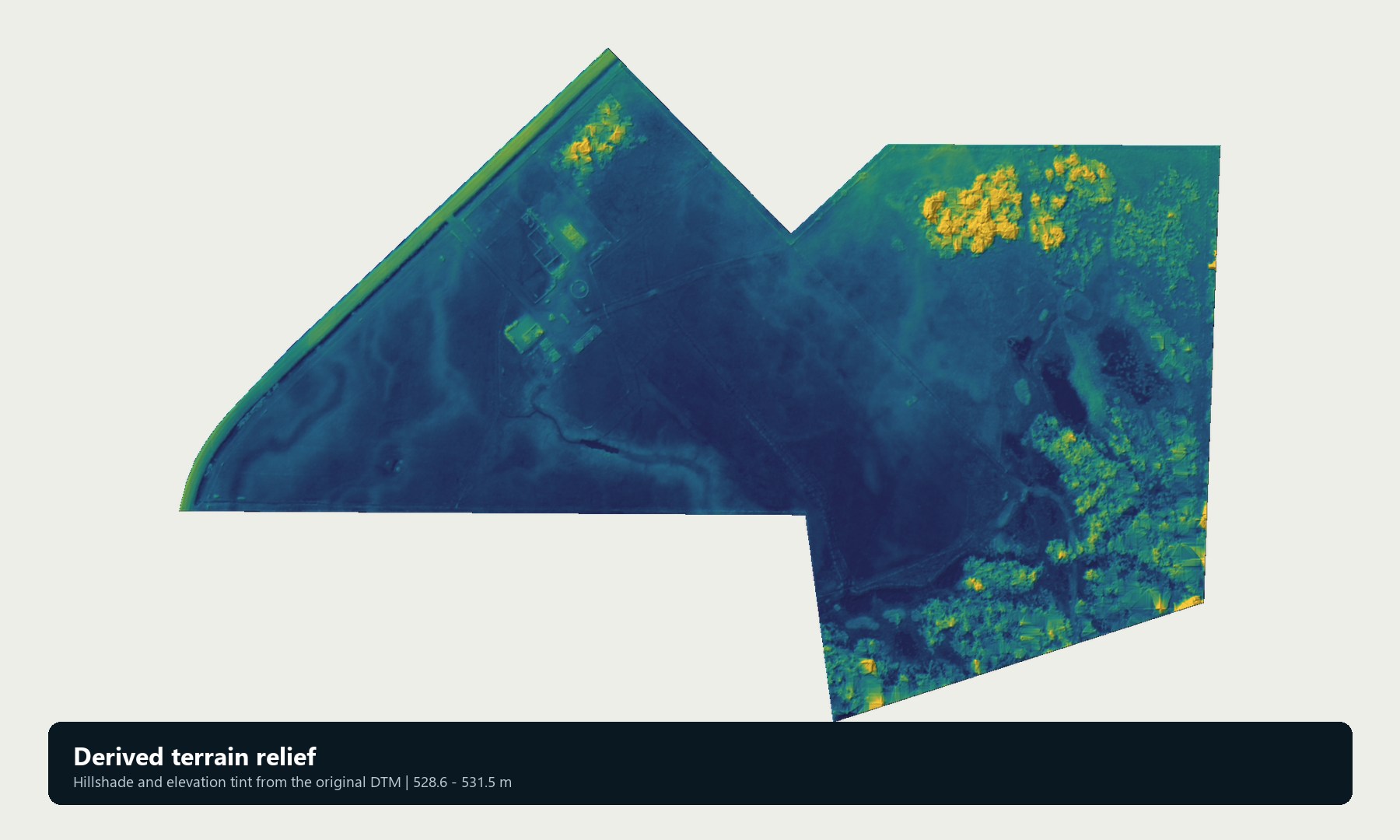
The mapping package provided a single, current view of the pit and measurable stockpile surfaces. It supported material inventory, terrain review, and operational discussion without relying only on field photos or rough visual estimates.