
Field notes & resources

What happens before a useful map is delivered.

Technical notes from the original High Attitude resource library, reorganized around field control, mission planning, and responsible use of mapping outputs.

Resource archive

Mapping workflow, explained in plain language.

These condensed notes preserve the useful technical material from the previous website while keeping the new site focused on active earthwork services.

Field workflow

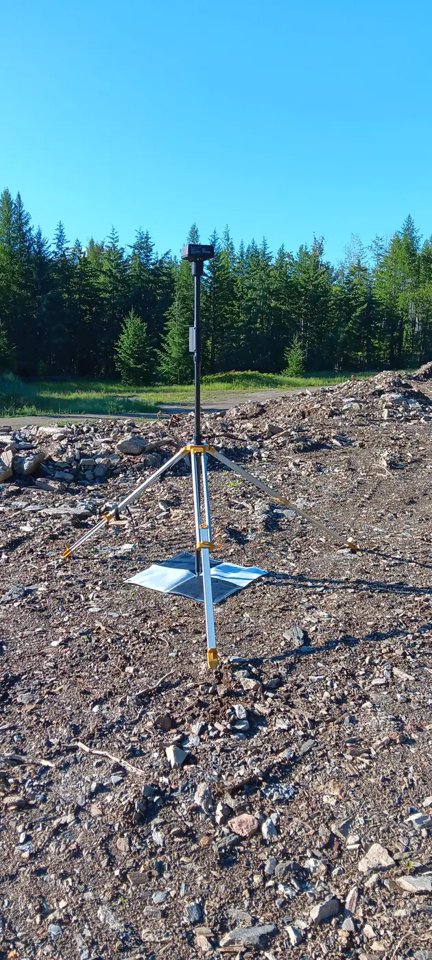
Collecting and correcting GCPs without NTRIP

A practical overview of collecting ground control in areas where a live correction network is unavailable.

Read the summary

The workflow separates careful field collection from post-processing. Stable, visible control points are distributed around the project; raw GNSS observations and base data are logged; coordinates are corrected afterward; and the corrected control is then introduced to the photogrammetry project. Independent checkpoints remain important because control should be verified, not simply assumed.
Planning & compliance

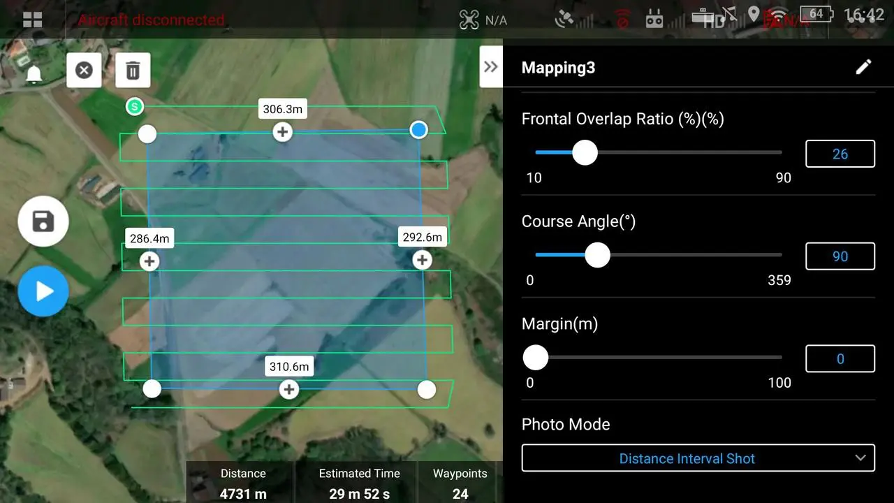
Mission planning, regulatory notices, and on-site survey

What is checked before a mapping aircraft leaves the ground—and why a site walk still matters.

Read the summary

Planning includes airspace and NOTAM review, permissions, weather, terrain, obstacles, access, takeoff and landing locations, emergency procedures, overlap, altitude, and expected ground sampling distance. Once on site, conditions are confirmed, hazards are reassessed, control is placed, and the capture plan is adjusted where reality differs from desktop planning.

Applied mapping

How aerial mapping supports wetland and terrain review

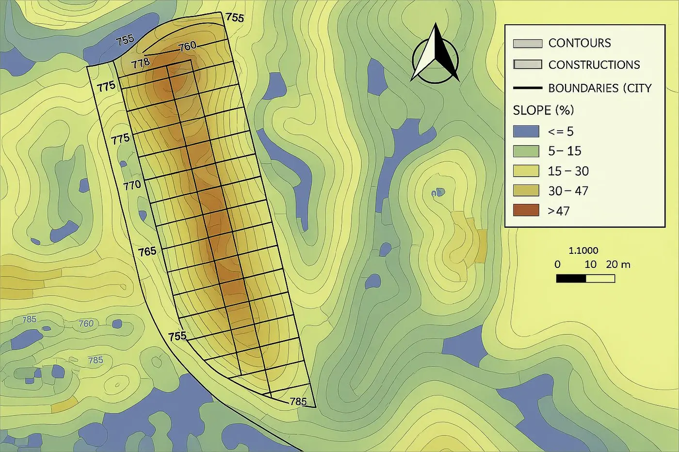
Aerial imagery and elevation products can reveal patterns that are difficult to understand from ground observations alone.

Read the summary

A georeferenced orthomosaic provides visual context while terrain and surface products help show drainage, elevation change, access, and the relationship between features. The products can support preliminary planning and documentation, but interpretation and any regulated boundary decisions remain with the appropriate qualified professionals.

Have a technical question?

Start with the project outcome and site conditions.

Share what needs to be measured, how the output will be used, and when it is needed.

Contact High Attitude →